| |
Atacama Large Millimeter Array
Site Characterization |
|
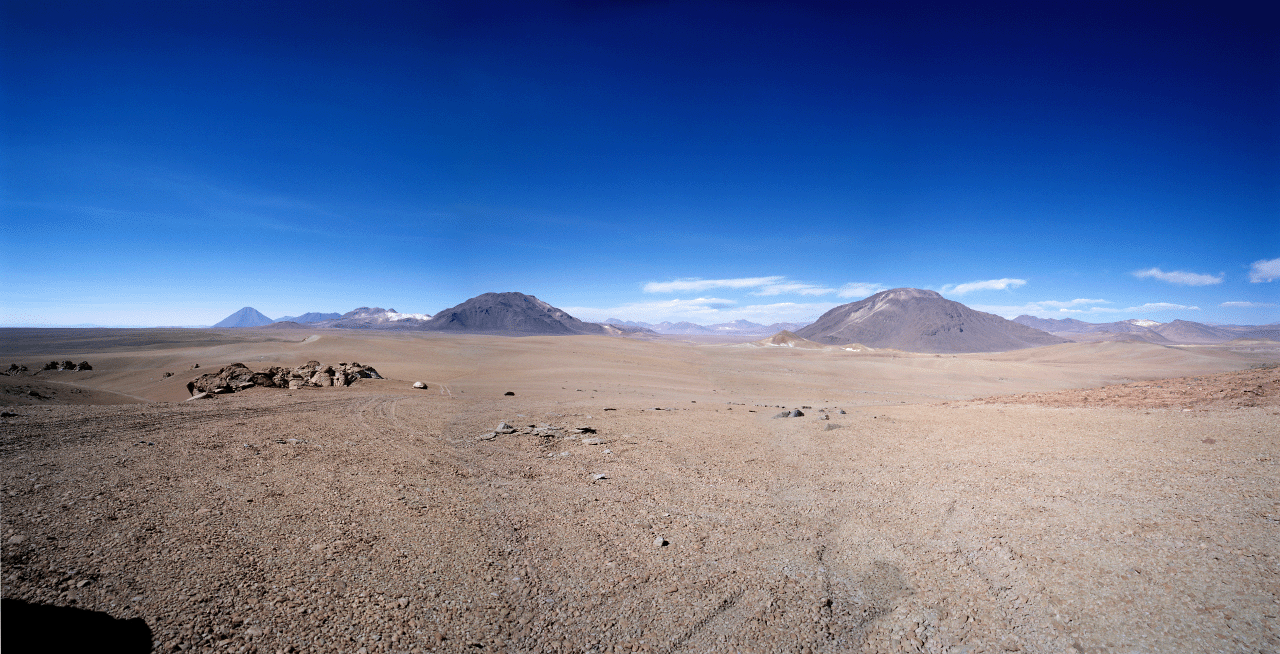
Since June 1998, ESO has monitored the tropospheric conditions of Llano de
Chajnantor, in the Region of Antofagasta in Chile. This place is the selected
site for the Atacama Large
Millimeter Array.
Contents
|
 Summary
of weather and PWV data at Chajnantor in the period June 1998-December
1999 Summary
of weather and PWV data at Chajnantor in the period June 1998-December
1999- Phase
stability data
- Meteorological
data
- 183
GHz radiometer data
- Radiosonde
data
- Wind
Speed (1 Hz resolution anemometer)
- Analysis
and Results
- Pictures
from Chajnantor and San Pedro de Atacama
- Photo
Gallery from Chajnantor
Weather
- Weather conditions (near real time from APEX)
- Weather conditions (short term predictions)
- Weather conditions (long term predictions)
- GOES8 Satellite Image (10.7u) South Pacific Region
- Weather conditions at the Calama Airport, II Region
-
Maps available for Pampa La Bola and Chajnantor
areas
These links are part of the information available at the NRAO site characterisation
page on the internet. The graphic information regarding: maps in scales
1:5.000, 1:50.000 and others scales, as well as digital elevation maps,
have been generated with participation of the European Southern Observatory,
National Radio Astronomy Observatory and Nobeyama Radio Observatory.
-
Coordinates of Landmarks, Roads, etc...
-
Topography, Maps and Digital elevation models...
Sites of interest
- ALMA Project Book
- Site Characterization and Monitoring (Chapter14,PDF)
- Site Characterization at NRAO
- Homepage
for the ALMA Project at ESO
- Homepage for the ALMA Project at NRAO
- North American ALMA
Science Center
- Canadian ALMA Project Website
- ALMA Memo Series
|
Other astronomy projects at Chajnantor
|
- CBI:
Cosmic Background Imager
- APEX Telescope
- ASTE Telescope
- NANTEN2
- CAT: Cornell Atacama Telescope
- ALMA (NAOJ)
|
Useful Links
San Pedro de Atacama